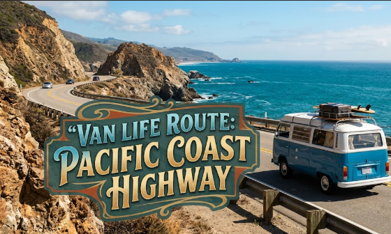
Most people drive PCH too fast. I’ve read enough trip reports from van life forums and Facebook groups to know that the default mistake is treating it like a transit corridor rather than the actual point of the trip. You rush through Big Sur because you’re trying to reach San Francisco by Thursday, and suddenly you’ve experienced one of the most dramatic coastlines in the world through a dirty windshield at 45 miles per hour, without stopping once. That’s not van life. That’s just a long commute.
This guide is for people who want to run the Pacific Coast Highway on a genuine budget, understand what it actually costs, and not miss the parts worth stopping for. At Budget Van Journeys, we hear about this route constantly, mostly with some variation of “is PCH doable without spending a fortune?” The honest answer is yes, but you need to know a few things before you start planning.
1. Decide Your Direction Before You Plan Anything Else
The north-to-south versus south-to-north argument gets debated endlessly, and honestly it matters more for van lifers than for people staying in hotels.
Going south to north, starting in San Diego and finishing somewhere around Leggett or Fort Bragg in Mendocino County, puts you on the ocean side of the road for Big Sur. That means every pull-off, every viewpoint, every moment you want to stop is immediately on your left, accessible without crossing oncoming traffic on a cliff road. It sounds like a minor detail. After you’ve driven it, you’ll understand why it’s not.
There’s also a psychological case for going northbound. LA comes early. The traffic and the near-impossibility of finding free overnight parking in the Malibu and Santa Monica areas are behind you within the first couple of days. By the time you hit the coastline north of Morro Bay, you’re already settled into the rhythm, the route gets quieter, and the free camping options get better. Which is, broadly, the direction you want things to trend.
The full stretch from San Diego to Leggett is around 650 miles. Most van lifers running it for the first time do San Diego to San Francisco, roughly 500 miles, over seven to ten days. That’s a reasonable pace. Five days is technically possible and practically too rushed.
2. The Gas Station Gap Nobody Mentions Until It’s Too Late
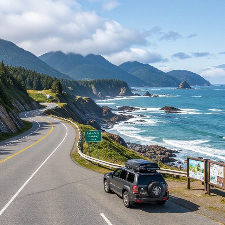
There is a 90-mile stretch of CA-1 through Big Sur with no gas stations.
This is not a rumour. From Ragged Point northbound to beyond the Big Sur village area, you are not filling up. The last reliable station heading north is in San Simeon. After that, you’re committed until Carmel or Monterey.
For a van averaging 17-20 mpg on flat roads, this is tight. On mountain terrain with sustained climbing and descending, expect that number to drop closer to 14-15 mpg. A van with a 20-gallon tank that’s three-quarters full pulling into San Simeon has maybe 200 miles of comfortable range. That’s enough, but it isn’t comfortable margin.
Fill up completely at San Simeon going north. At Carmel if you’re heading south. Every time.
People skip this because California gas is expensive, typically $0.40-0.70 more per gallon than the national average, and optimism does the rest. The unspoken thought is: “we’ll probably be fine.” Sometimes you are. Sometimes you’re coasting downhill toward Carmel with the fuel light on, which is a terrible way to experience a beautiful road.
If you want a proper breakdown of how to manage fuel costs across the whole route rather than just this one stretch, the piece on how to cut fuel costs on a long van road trip is the most practical thing you’ll read on this subject. California mountain driving is genuinely one of the most fuel-intensive scenarios a van deals with.
3. Where You’ll Actually Sleep (An Honest Section-by-Section Breakdown)
This is where PCH gets more complicated than a route through Nevada or Utah. California’s coastline has been developed, contested, and regulated for a long time. The patches of legal, free dispersed camping are genuinely limited compared to most Western states. They exist, but you need to know where to look and be realistic about the sections where they don’t.
LA to San Luis Obispo
The hardest stretch for free camping. The obvious-looking spots near Malibu are either day-use state beaches with no overnight, or areas that have been progressively enforced over the past few years. Malibu Creek State Park has paid camping at roughly $35 a night, and it’s worth it if you need a base near LA. The Oceano Dunes near Pismo Beach is the most interesting option in this zone: vehicle camping directly on the beach, around $10-15 per night in the standard camping areas. Not free, but genuinely good value for what it is.
Big Sur and Los Padres National Forest
Your best opportunity on the whole route. Los Padres National Forest covers a significant amount of land inland from the coast, and dispersed camping is permitted in appropriate areas with a valid campfire permit, which you get free through the USFS website. The access roads into these areas often require decent ground clearance and some will be tight for larger builds. Check current conditions before you arrive because this changes after fire seasons, and some zones have specific permit requirements that go beyond the standard dispersed rules.
Monterey to San Francisco
Mostly paid, mostly campgrounds. Veterans Memorial Park in Monterey runs around $30 a night. There are app-found spots reported by van lifers in real time, but they require some digging and aren’t guaranteed. The free camping apps that Budget Van Journeys has properly tested are the right starting point for this section, because the difference between apps varies significantly and some are badly out of date. For town-adjacent overnight parking, the breakdown of free overnight parking apps that actually work is worth reading before you leave, not while you’re sitting in a parking lot at 10pm.
Here’s an honest cost comparison for a 7-night PCH run, San Diego to San Francisco:
| Category | Budget Van Approach | Typical Tourist Default |
|---|---|---|
| Accommodation (7 nights) | $30 to $110 (mix of free dispersed and low-cost paid) | $560 to $1,400 (hotels/motels) |
| Fuel (500 miles at 15-17 mpg) | $130 to $165 | $130 to $165 (the same for everyone) |
| Food (7 days) | $70 to $110 ($10-15/day cooking in the van) | $280 to $560 ($40-80/day eating out) |
| State park day-use entry | $15 to $35 (selective) | $80 to $120 (multiple parks) |
| 7-day total (approximate) | $245 to $420 | $1,050 to $2,245 |
The gap is real. Most of it comes from where you sleep and whether you cook, which is exactly where van life does its best work. For a broader sense of what van life actually costs across longer trips, the 2026 van life monthly cost breakdown is one of the most grounded reference points I’ve come across.
4. The Stops Worth Actually Slowing Down For
I’m going to be selective here. Every PCH guide lists every viewpoint and it becomes noise fast, so I’m focusing on the ones that are genuinely worth stopping for and cost little or nothing.
El Matador State Beach (near Malibu): No overnight camping, but possibly the most striking beach on the southern half of the route. Sea caves, tide pools, deep ochre rock formations. Day parking is $8-10. Go at low tide or you won’t be able to reach the caves.
Elephant Seal Rookery at San Simeon: Free. No booking. You park, walk to a boardwalk, and watch hundreds of elephant seals from about ten metres away. It’s one of those stops that doesn’t sound dramatic on paper and turns out to be completely absorbing. A lot of van lifers drive past it because the name doesn’t sound impressive enough. That’s a mistake.
Bixby Creek Bridge: You’ve seen the photos. Stop at the north pullout for the actual composition. It takes five minutes and costs nothing. Going all the way to a lookout without stopping here is the PCH equivalent of visiting Paris without looking at the Eiffel Tower.
Point Lobos State Natural Reserve (just south of Carmel): $10 per vehicle for day use, which is the best-value entry fee on the whole route. The coastal scenery here is extraordinary, and unlike Big Sur itself, Point Lobos has good trails that let you actually walk through it rather than just see it from the highway.
Muir Woods (north of San Francisco): $15 per vehicle, and timed entry reservations are required. Book at least a week in advance; it fills reliably. Worth the planning, but it will not happen spontaneously.
One stop I’d suggest most people skip, or at least not spend more than an hour on: downtown Santa Cruz. It’s fine. It’s a reasonable grocery resupply point. But it’s easy to spend an afternoon there, drift into a restaurant, and come out $25 lighter without having experienced anything particularly memorable. Get what you need, maybe walk the boardwalk, keep moving.
5. What Quietly Drains the Budget When People Aren’t Expecting It
A few specific things come up when van lifers report that PCH cost more than they planned.
The fog problem in Big Sur is genuinely underrated. June and July are peak tourist season on PCH and also the foggiest months on the Big Sur coastline. Marine layer from the Pacific pushes in overnight and doesn’t burn off until midday or later, sometimes not at all. You can drive one of the most dramatic coastlines in the world in thick grey fog and see essentially nothing. September and October are objectively better for visibility and have lighter traffic. The campground costs are similar, but the experience is not.
Cell signal disappears for long stretches. There are sections of CA-1 between San Simeon and Carmel where you can go 30-40 miles with no data and no GPS signal. Download offline maps specifically for CA-1 before you leave. This sounds like the kind of advice you’d skip. Don’t skip it.
The state park reservation system is not forgiving. California’s online system, Reserve California, fills up months in advance for popular sites during summer weekends. Pfeiffer Big Sur State Campground in August on a Friday evening, without a reservation, will turn you away. The choice is: book ahead, commit to dispersed camping, or plan your timing. There is no workable middle ground on this.
And one thing that catches people by surprise: the America the Beautiful annual pass ($80) covers national parks and national forests, but not California state parks. Those are on a separate system. If you’re planning to stop at multiple California state parks, you pay individually each time. Budget for this separately, or choose your stops accordingly.
FAQs
How many days should I realistically budget for the PCH van route? Seven to ten days for San Diego to San Francisco is the realistic range if you want to stop meaningfully and not feel rushed through Big Sur. Five days is possible but you will feel it. If you’re continuing north into Mendocino County or toward the Oregon border, add another three to four days and the scenery only gets better.
Is free camping on PCH actually doable, or is it mostly paid? Genuinely limited compared to the Southwest or the Rocky Mountain states, but not impossible. Los Padres National Forest near Big Sur is your best option for true dispersed camping. The LA-to-SLO segment and the Monterey-to-SF segment are mostly paid campgrounds with a handful of app-found spots. Going in with accurate expectations saves a lot of frustration.
What should I know about gas costs specifically for PCH? Plan on a 500-mile run from San Diego to San Francisco costing around $140-165 in fuel at California prices, which are running $4.50-5.00 per gallon in 2026 for regular. That figure drops on flat stretches and goes up in the mountains, and Big Sur is all mountains. The gap between your best and worst fuel economy on this route can be 5-6 mpg, which across 500 miles adds up to a meaningful difference. Always fill up before Big Sur.
Which camping apps are most useful for PCH specifically? The apps that work best for van life in general sometimes struggle in California because the state has less BLM land and more regulated coastline than the West’s interior. Freecampsites.net and iOverlander both have California coverage, but the entries need checking for current accuracy since land access changes. Budget Van Journeys has a dedicated tested breakdown of four free camping apps that covers this specifically rather than just listing apps without context.
Is summer actually the best time to drive PCH? Depends which part of summer. July and August bring peak traffic, packed campgrounds, and the coastal fog that makes Big Sur frustrating. Late September into October is genuinely the best window: warm and clear, lighter traffic, campgrounds easier to get into. If your only option is July, you can still have a good trip, but manage expectations about Big Sur specifically and book campgrounds well in advance.
The Pacific Coast Highway is one of those routes that van life was practically designed for. There’s no better way to experience it than slowly, from the inside, at your own pace. The gap between what this route costs a prepared van lifer and what it costs someone in a hotel booking is about the best practical argument for the lifestyle I know of.
Plan the fuel, find your spots before dark, and don’t rush Big Sur.